Hurricane Beryl is breaking records as it wreaks havoc in the southeastern Caribbean.
On Sunday, Beryl became the first Category 4 storm ever to form in the Atlantic Ocean in the month of June. No storm has reached Category 4 intensity so early in the hurricane season, which runs from June 1 to Nov. 30. The previous record was held by Hurricane Dennis, which slammed into Cuba as a Category 4 storm on July 8, 2005.
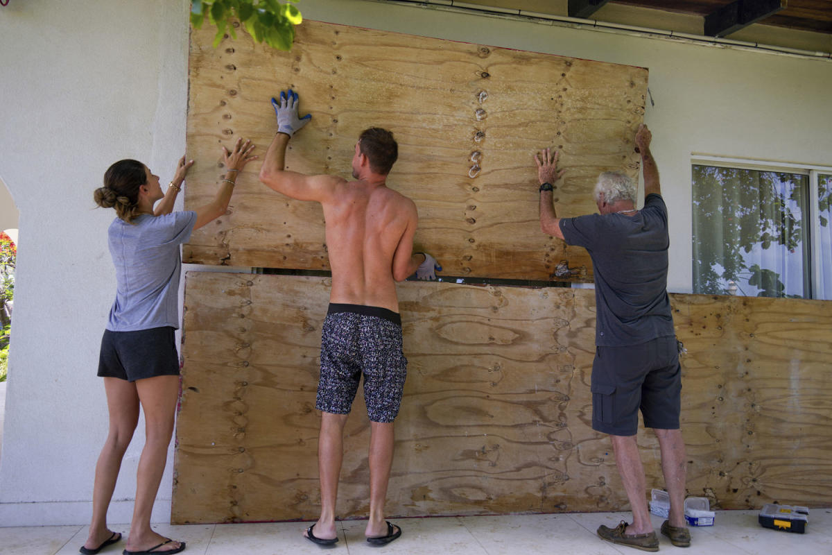
Hurricane Beryl made landfall Monday on Carriacou Island, and it is expected to bring heavy rain and life-threatening winds and storm surge to the Windward Islands, including Grenada, St. Vincent and Martinique, before continuing west in the coming days.
In a news briefing, Prime Minister of Grenada Dickon Mitchell said Hurricane Beryl flattened Carriacou in half an hour, but so far there have been no reports of confirmed injuries or deaths.
This year’s hurricane season is expected to be exceptionally busy, according to the National Oceanic and Atmospheric Administration. The agency’s May outlook predicted eight to 13 hurricanes in what forecasters said would likely be an “extraordinary” season.
Unusually warm waters in the Atlantic have helped to fuel Hurricane Beryl, which is only the third major hurricane — classified as Category 3 or higher — ever recorded in the Atlantic basin in June.
The storm is also the earliest major hurricane in 58 years: The last was Hurricane Alma, which reached Category 3 status on June 8, 1966.
The first major hurricane of the season typically forms in late August or early September, according to the National Hurricane Center.
Hurricane Beryl’s strength has been striking, as well. Multiple studies have shown that while climate change is not necessarily expected to increase the total number of hurricanes per year, warmer ocean temperatures will help strengthen ones that do form.
Beryl intensified from a tropical depression to a major hurricane in just 42 hours, a stunning pace. The storm’s rapid intensification was made possible by warm water on the ocean’s surface, which acts as fuel for developing storms. (The National Hurricane Center defines “rapid intensification” as an increase in sustained wind speeds of at least 35 mph over 24 hours.)
Scientists say the process of rapid intensification is becoming more common as climate change increases sea surface temperatures.
Since 2010, several major hurricanes have undergone this process, including Dorian in 2019, which saw its peak winds increase from 150 mph to 185 mph in the span of just nine hours. Hurricane Ian underwent two bouts of rapid intensification in 2022 before it made landfall in southwestern Florida.
A 2017 study found that storms whose sustained wind speeds increase by 70 mph over 24 hours would be expected to occur roughly once in 100 years. But if current levels of greenhouse gas emissions remain unchanged, storms with that level of intensification could occur every five to 10 years by the year 2100.
Rapid intensification is a major concern because storms that strengthen that quickly tend to be more destructive and can strike before people have time to evacuate or make adequate preparations.
Climate change is also making for more destructive hurricanes overall, because a warmer atmosphere can hold more moisture. That can lead storms to produce heavier rainfall, which can cause catastrophic flooding.
This article was originally published on NBCNews.com